MWRpy is a Python software to process RPG Microwave Radiometer data and is developed at the University of Cologne, Germany as part of the Aerosol, Clouds and Trace Gases Research Infrastructure (ACTRIS).
The software features reading raw data, Level 1 quality control, generation of Level 2 data products and visualization and is based on the IDL code mwr_pro.
The netCDF data format including metadata information, variable names and file naming is designed to be compliant with the data structure and naming convention developed in the EUMETNET Profiling Programme E-PROFILE.
MWRpy documentation: https://actris-cloudnet.github.io/mwrpy/
If you wish to acknowledge MWRpy in your publication, please cite:
Marke et al., (2024). MWRpy: A Python package for processing microwave radiometer data. Journal of Open Source Software, 9(98), 6733, https://doi.org/10.21105/joss.06733
From PyPI:
python3 -m pip install mwrpyFrom GitHub:
git clone https://github.com/actris-cloudnet/mwrpy.git
cd mwrpy
python3 -m venv venv
source venv/bin/activate
pip3 install --upgrade pip
pip3 install .
MWRpy requires Python 3.10 or newer.
The folder mwrpy/site_config/ contains configuration files for each instrument
type, which defines the input and output data paths etc.
For example, this is the configuration file for RPG-HATPRO.
The folders for each site, e.g. mwrpy/site_config/hyytiala/, contain a
site and instrument specific configuration file (config.yaml) and retrieval coefficients.
For example, this is the configuration file for Hyytiälä.
MWRpy can be run using the command line tool mwrpy/cli.py:
usage: mwrpy/cli.py [-h] -s SITE [-d YYYY-MM-DD] [--start YYYY-MM-DD]
                       [--stop YYYY-MM-DD] [-p ...] [{process,plot}]
Arguments:
| Short | Long | Default | Description |
|---|---|---|---|
-h |
--help |
Show help and exit. | |
-s |
--site |
Site to process data from, e.g, hyytiala. Required. |
|
-d |
--date |
Single date to be processed. Alternatively, --start and --stop can be defined. |
|
--start |
current day - 1 |
Starting date. | |
--stop |
current day |
Stopping date. | |
-p |
--products |
1C01, single, multi | Processed products, e.g, 1C01, 2I02, 2P03, single, see below. |
Commands:
| Command | Description |
|---|---|
process |
Process data and generate plots (default). |
plot |
Only generate plots. |
no-plot |
Only generate products. |
reprocess |
Like process, but skips days when data processing fails. |
- 1B01: MWR brightness temperatures from .BRT and .BLB/.BLS files + retrieved spectrum
- 1B11: IR brightness temperatures from .IRT files
- 1B21: Weather station data from .MET files
- 1C01: Combined data type with time corresponding to 1B01
- 2I01: Liquid water path (LWP)
- 2I02: Integrated water vapor (IWV)
- 2I06: Stability Indices
- 2P01: Temperature profiles from single-pointing observations
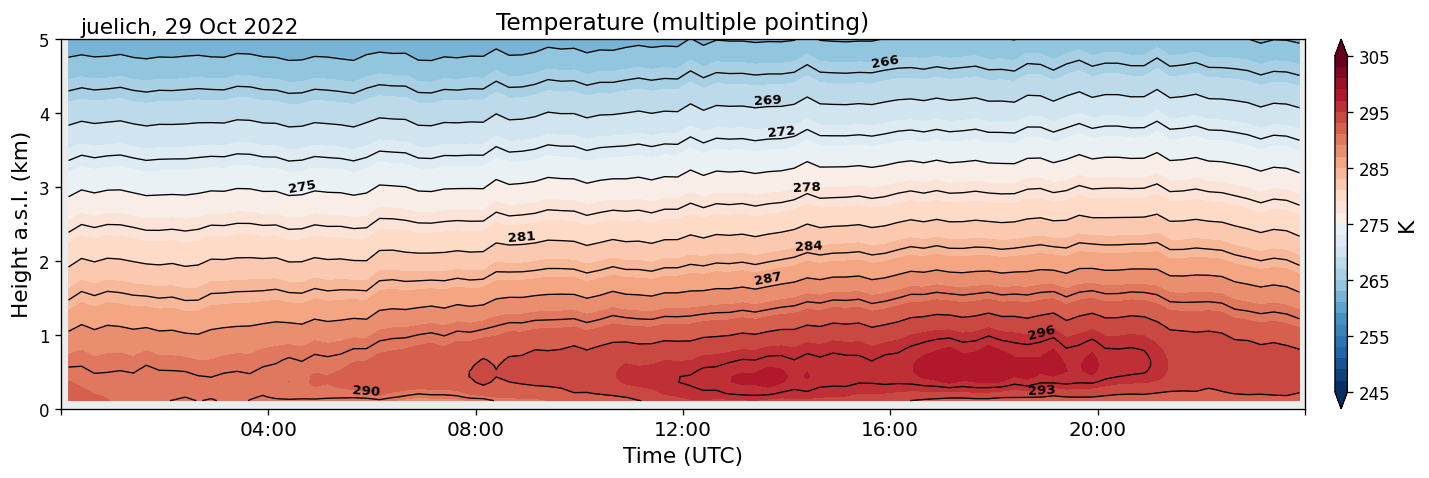
- 2P02: Temperature profiles from multiple-pointing observations
- 2P03: Absolute humidity profiles
- 2P04: Relative humidity profiles (derived from 2P01/2P02 + 2P03)
- 2P07: Potential temperature (derived from 2P01/2P02 + 2P03)
- 2P08: Equivalent potential temperature (derived from 2P01/2P02 + 2P03)
- single: Single pointing data product (including 2I01, 2I02, 2I06, 2P01, 2P03, and derived products)
- multi: Multiple pointing data product (including 2P02, and derived products)
MIT
