-
Notifications
You must be signed in to change notification settings - Fork 57
Home
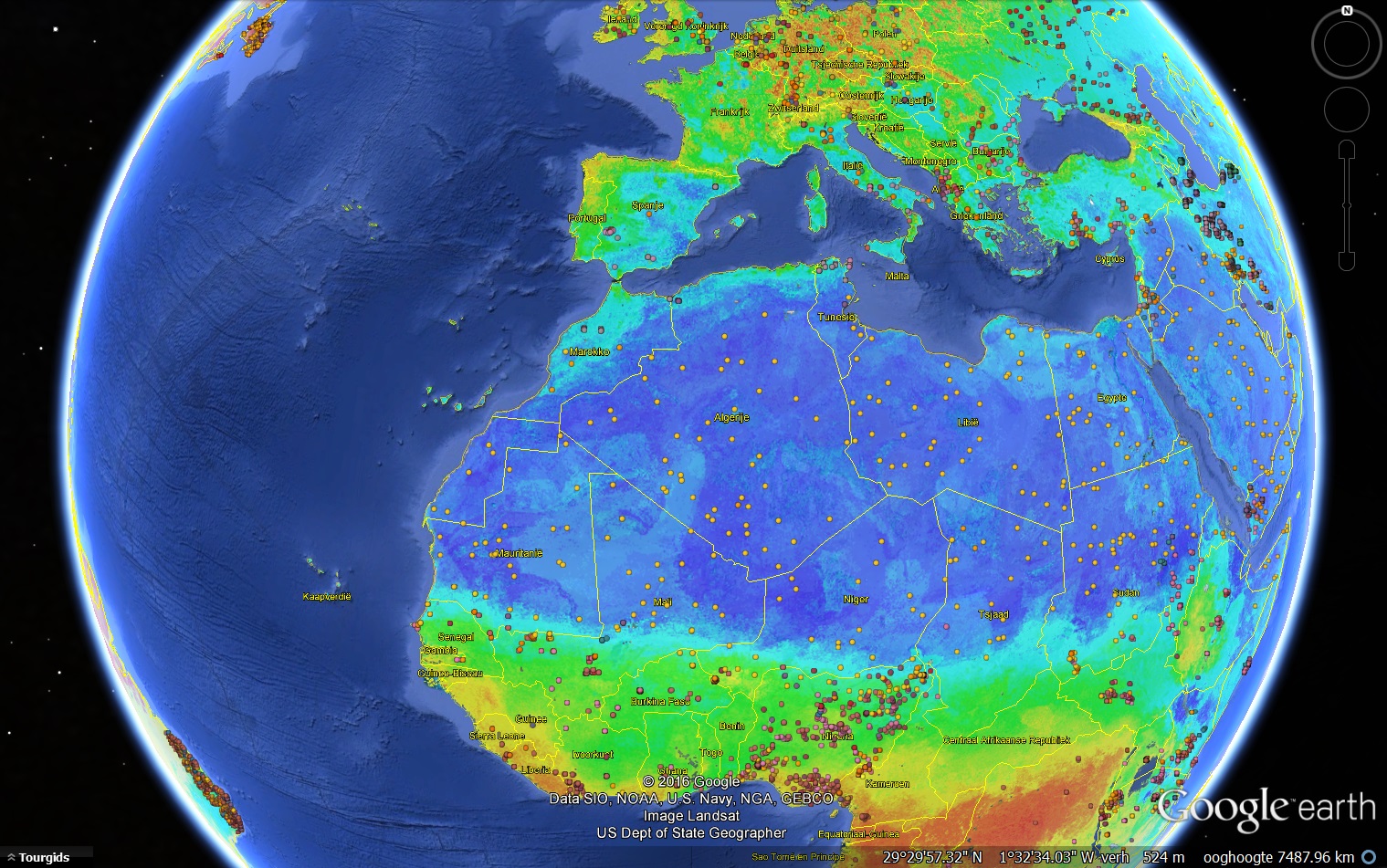
SoilGrids is a system for automated global soil mapping based on Machine Learning developed at ISRIC --- World Soil Information. We use the modelling framework (fully-documented on this github repository) to provide global predictions for standard numeric soil properties (organic carbon, bulk density, Cation Exchange Capacity (CEC), pH, soil texture fractions and coarse fragments) at seven standard depths (0, 5, 15, 30, 60, 100 and 200 cm), in addition to predictions of depth to bedrock and distribution of soil classes based on the World Reference Base (WRB) and USDA classification systems (ca.280 raster layers in total). Predictions are based on a global compilation of publicly available soil profiles (ca. 150,000 used for model training), and a stack of (ca. 160) remote sensing-based soil covariates (primarily derived from MODIS land products, SRTM DEM derivatives, climatic images and global landform and lithology maps). For generating predictions we use ensemble of machine learning methods: random forest and gradient boosting and/or multinomial logistic regression, as implemented in the R packages ranger, xgboost, nnet and caret.
