
Elevation change analysis.

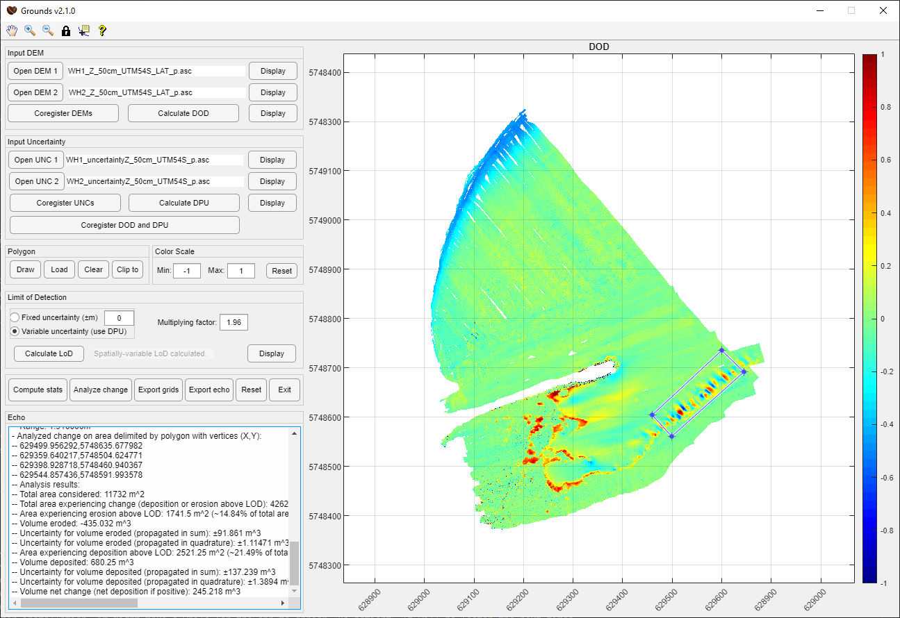
Grounds is a free and open-source app to visualize and analyze change between Digital Elevation Models (DEM), that is, bathymetric/topographic grids. With this tool, you can visualize the regions of your datasets that experienced vertical change (erosion, deposition, etc.), and calculate the surface and volumes of those changes, considering fixed or variable Limits of Detection (LoDs). Grounds also provides uncertainty estimates for these measures. This app implements the methods described in Schimel et al. (2015).
Grounds uses the CoFFee multibeam data processing toolbox (hence the name). It is coded in MATLAB, but is also available as a standalone application that does not require a MATLAB licence (see the Dependencies and Installing sections).
- For the source code:
- MATLAB. The code was developed with version R2020b, but it may work on earlier/later versions.
- Some MATLAB toolboxes:
- Mapping Toolbox
- Image Processing Toolbox
- Statistics and Machine Learning Toolbox
- The CoFFee toolbox
- For the compiled executable: MATLAB Runtime v9.9.
- Note: if you install the app using the binary installer, the setup wizard will automatically detect whether you have the correct version of MATLAB Runtime installed and, if not, allow you to download and install it then.
- For the source code:
- Clone or download this repository, as well as the repository of CoFFee, onto your machine.
- For the compiled executable:
- Preferably, download the binary installer from the releases page, execute the installer, and follow the instructions of the setup wizard. The setup wizard will check if you have the appropriate version of MATLAB Runtime installed and, if not, let you download and install it. Note that the setup wizard requires an internet connection.
- Alternatively, you can simply download the binary executable and accompanying files from the releases page and double-click the .exe file to run the application without installing it. Note that you still need to have the appropriate version of MATLAB Runtime installed.
- For the source code: Start MATLAB, navigate to the root directory of the Grounds code, and type
Groundsin the Command Window.- Note: The first time you run Grounds from the source code, you will be prompted to provide the location of a folder containing the CoFFee toolbox. Grounds will check if the version of that toolbox is the one with which the app was built. If the version of CoFFee is not the one expected, you will receive a warning letting you know you might experience issues, and recommending you download (or check out) the appropriate version.
- For the compiled executable: Execute the installed program.
- Note: The first time you run Grounds after installation, it might take a while for the app to appear. Be patient. It will be faster the next times.
Note: At start-up, Grounds creates a Grounds user folder (normally, C:\Users\USERNAME\Documents\Grounds). This folder contains a configuration file for the app, and is the default folder for any exports from the app. This folder or any of its contents can be deleted safely (although if you delete the configuration file, this will reset the app configuration).
There is a short documentation available by clicking on the ? (question mark) button in the menu. We also recommend you read the article Schimel et al. (2015), which describes the methods (workflow and processing applied).
There is an example dataset (2x DEMs, 2x spatially-variable uncertainty grids, 1x example polygon) available for download from the releases page.
For more help, contact the authors.
See the releases page for past released versions.
If you want to receive notifications of future releases (recommended), you may create a github account, and on this repository click on 'Watch', then 'Custom', and choose 'Releases'. Verify in your GitHub settings that you are set to receive 'Watching' notifications.
- Alexandre Schimel (The Geological Survey of Norway, [email protected])
- Rozaimi Che Hasan (Universiti Teknologi Malaysia)
- Daniel Ierodiaconou (Deakin University)
- Joshu Mountjoy (NIWA)
2012-2015
- Alexandre Schimel (The Geological Survey of Norway)
The Grounds software and source code are distributed under the MIT License. See LICENSE file for details.
- Grounds: Elevation Change Analysis
- Espresso: Multibeam water-column visualization and processing
- Iskaffe: Multibeam backscatter quality control
Articles using Grounds:
- Mountjoy, J. J., Howarth, J. D., Orpin, A. R., Barnes, P. M., Bowden, D. A., Rowden, A. A., Schimel, A. C. G., Holden, C., Horgan, H. J., Nodder, S. D., Patton, J. R., Lamarche, G., Gerstenberger, M., Micallef, A., Pallentin, A., & Kane, T. (2018). Earthquakes drive large-scale submarine canyon development and sediment supply to deep-ocean basins. Science Advances, 4(3). https://doi.org/10.1126/sciadv.aar3748
- Schimel, A. C. G., Ierodiaconou, D., Hulands, L., & Kennedy, D. M. (2015). Accounting for uncertainty in volumes of seabed change measured with repeat multibeam sonar surveys. Continental Shelf Research, 111, 52–68. https://doi.org/10.1016/j.csr.2015.10.019