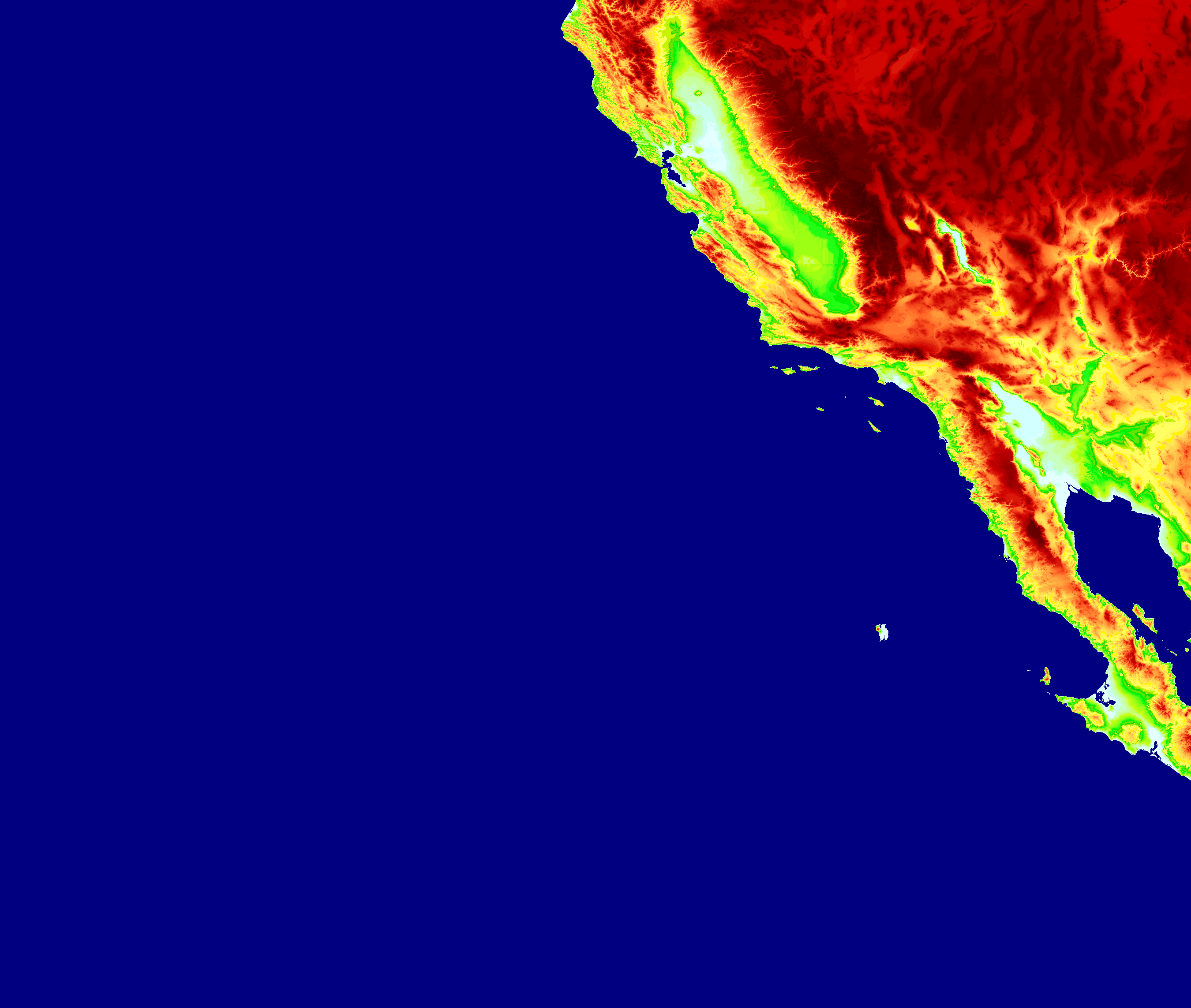
You have two ways of viewing the Jaanga Terrain Plus files:
- Web page hosted on GitHub: jaanga.github.io/terrain-plus
- Source code on GitHub: github.com/jaanga/terrain-plus << You are now probably here.
- Little apps built to demo particular aspects of a larger projects
- Not always meaningful outside of their context
- But may include some interesting code
Highlighted Apps
Gazetteer of over 2000 locations with latitude and longitude
- places-200.csv
- Data sources from Latitude and Longitude for Selected Cities
- Given the very large number of airport locations, the original data may come via Xplane/FlightGear
- Many thanks to Xinhang Shen and Todd Westphal for compiling list list
- Feel free to suggest more places
GeoJSON Gazetteer of Jonathan de Ferranti's 3 Second files
- GitHub geoJSON viewer: de Ferranti 3 Second files
- GitHub Raw: de Ferranti 3 Second files
- Displays the location of over 19,000 HGP files
GeoJSON Gazetteer of highest mountains in Scotland
- Jaanga unFlatland: Mountaind of Scotland
- GitHub geoJSON viewer: Mountains of Scotland geoJSON
- GitHub Raw: Mountains of Scotland geoJSON
- Data courtesy of Steven Horner post on The Most Visible Mountain & New Mountain Classifications
- GeoJSON data sourced from stevenhorner / PeakVisibility
- Thanks Steven!
- Provide sample HGT files for viewers and utilities
- View HGT file locations using GitHub geoJSON Viewer
- Heightmaps from various sources used in early versions of Jaanga Terrain
Jaanga copyright notice and license
This repository contains files that are at an early and volatile stage. Not all licensing requirements may have been fully met let alone identified. It is the intension of the authors to play fair and all such requirements will either be met or the feature in question will turned off.
2014-03-26 ~ Theo
- Sandbox added
- Many read me edits
2014-03-25 ~ Theo
- De Ferranti 3 second gazetteer added
