python class and scripts to investigate an ArcGIS rest API server and store the data in spatialite
inspired by
- https://github.com/Schwanksta/python-arcgis-rest-query
- http://blog.spaziogis.it/2014/12/29/take-the-best-use-the-rest/
virtualenv arcgis2sqlite
cd arcgis2sqlite/
. bin/activate
git clone https://github.com/napo/arcgisrest2spatialite repo
cd repo
pip install -r requirements.txt
python setup.py install
NOTE: you need an installation of spatialite 3.8+
this script show a json with the information of a layer present in a ArcGIS Rest API source
Example1 - show the information of numeri civici
arcgis-inspect-layer.py http://geo.umbriaterritorio.it/ArcGIS/rest/services/Public/ECOGRAFICO_CATASTALE1_WGS84/MapServer/0
this script dump the data in a spatialite file of a layer present in a ArcGIS Rest API source NOTE: this operation can use a lot of time to be completed (it depends from the number of features in the layer)
Example2 - create the spatialite file address_number.sqlite from the source numeri civici
arcgis-get-layer.py http://geo.umbriaterritorio.it/ArcGIS/rest/services/Public/ECOGRAFICO_CATASTALE1_WGS84/MapServer/0 address_number.sqlite
this script extract the information about all the layers present in a ArcGIS Rest API service and store it in a spatialite file The script create a table called arcgiscatalog
NOTE: this operation can use a lot of time to be completed
Example3 - create the catalog table of the geodata provided by the italian region Lombardia
arcgis-discover.py http://www.cartografia.regione.lombardia.it/ArcGIS10P/rest/services geodata_lombardia.sqlite
this script extract the information about all the data present in a ArcGIS Rest API service and store it in a spatialite file NOTE:
- this operation can use a lot of time to be completed
- the file created can be very very big
- if there are two or more layers with the same name, the script create a new name with the number (Eg. "roads" and "roads1"
Example4 - dump all the geodata provided by the italian region Umbria
arcgis2splite.py http://geo.umbriaterritorio.it/ArcGIS/rest/services geodata_umbria.sqlite
note: in this example you obtain a file of 1.7Gb The file is here http://bit.ly/1ATIyPC [last update 2015/13/01]
- investigate a table of a spatialite file Example5
spatialite geodata_lombardia.sqlite "select * from arcgiscatalog"
(this is the case of the table arcgiscatalog created from the command arcgis-discover.py)
- dump the data in a csv file Example6
spatialite -header -separator ";" geodata_lombardia.sqlite "select * from arcgiscatalog;" > geodatacatalog_lombardia.csv
- convert a table in a ESRI Shapefile by using ogr2ogr
Example5
ogr2ogr -f "ESRI Shapefile" address_numbers.shp geodata_umbria.sqlite numeri_civici
(this assume you have a table called numeri_civici with the address numbers stored in the file geodata_umbria.sqlite)
- show the content with a GIS software
![qgis] (https://raw.githubusercontent.com/napo/arcgisrest2spatialite/master/img/qgis_spatialite.png) the qgis gui
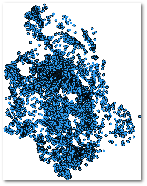
![output] (https://raw.githubusercontent.com/napo/arcgisrest2spatialite/master/img/civici_umbria.png) the output