GeoAnimator is a program for automatically processing data received from geostationary satellites such as the GOES, GK-2, and Himawari series.
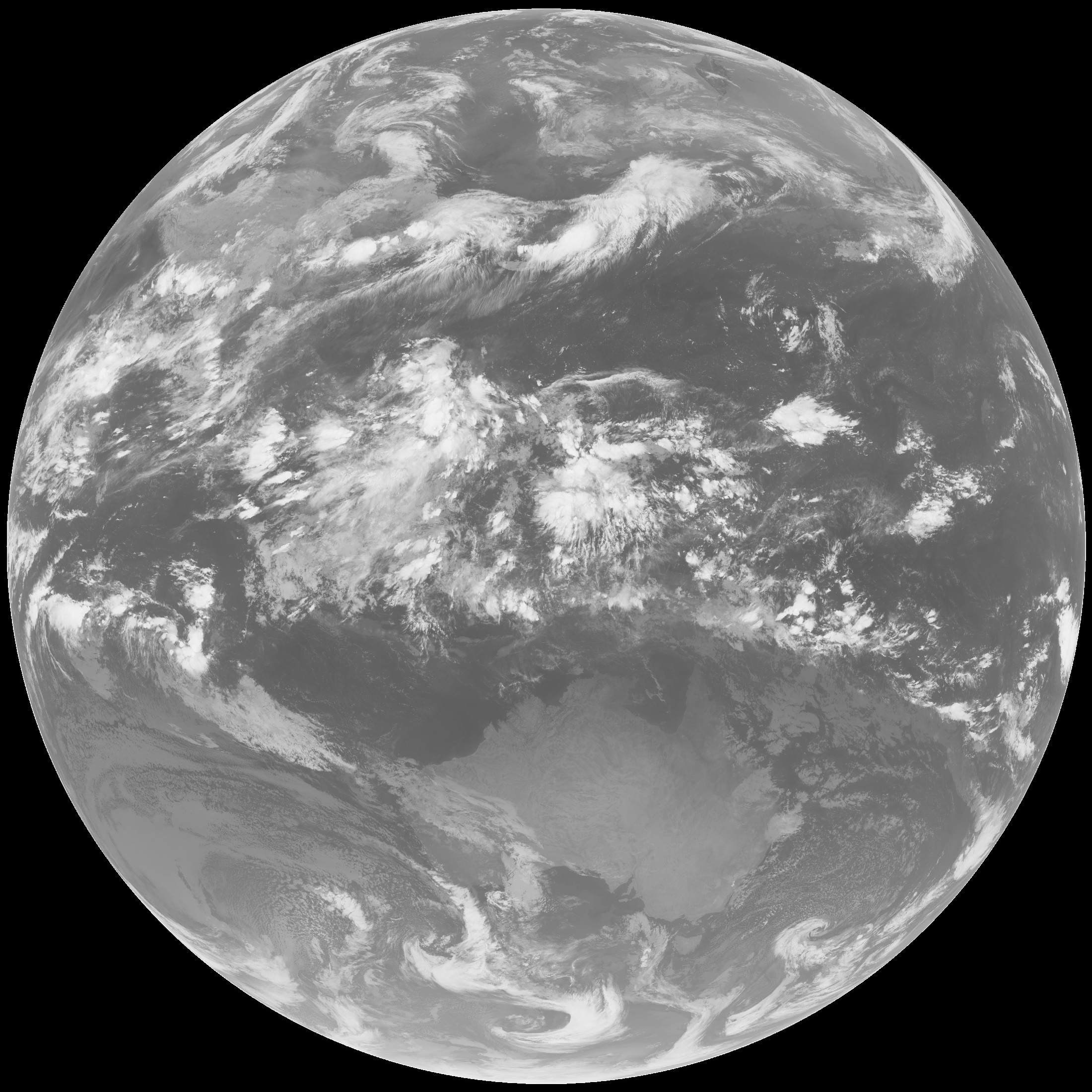
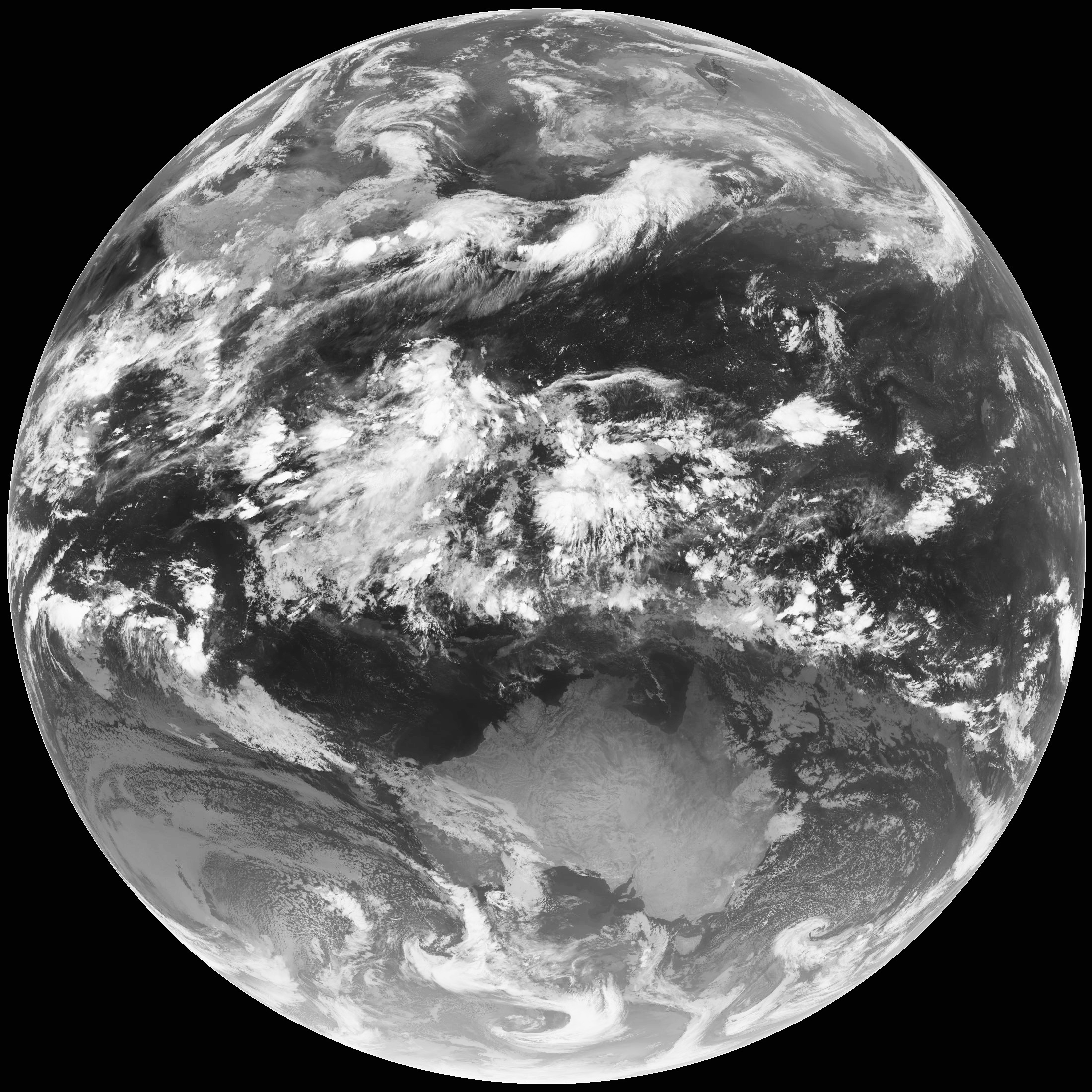
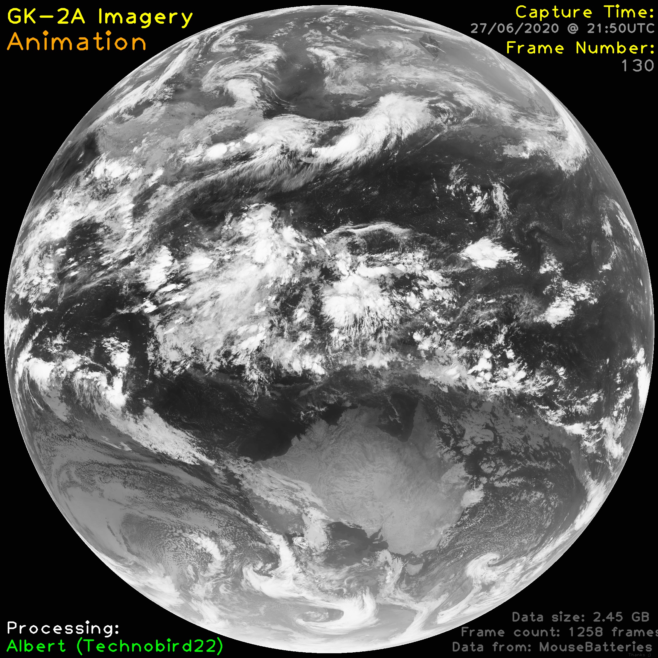
GeoAnimator is designed to automatically take raw infrared LRIT images to bring out subtle details otherwise not recognized in the original image, as well as generate animations. GeoAnimator is built to process all of this data automatically, so you don't have to lift a finger. However, GeoAnimator can be easily configured for manual use. See more information below
- Fully Automatic Image Processing
- Enhances Landmass and brings out subtle details by running Contrast Limited Adaptive Histogram Equalisation (CLAHE) on each frame.
- Automatically Parses and overlays relevant data
- Incredibly detailed log files.
- Have configuration in a seperate file
- Add option to ignore certain folders
- Read directly from directory output structure of XRIT-RX
- Add false colour Overlays (eg. Enhanced Temperature)
- Underlay false colour
- Add crops for certain locations
- Repair dropped frames/packets
- Sharpen images
- Currently, the main script is
batch_process.py, which, after being run, automatically does all the processing. It's relatively easy to change input directories/output locations from the code, where everything is clearly commented, however the ability to parse this argument wise will be added in the future. All the enhancements and processing scripts are in thegeocap_utils.pyheader file, although some are still being moved across.
Currently required libraries are opencv-python and numpy.
If you run into import errors, you'll need to run the following commands to install the libraries:
pip install opencv-pythonpip install numpy
This script is relatively lightweight, using less than 200mb of RAM and less than 20% utilisation of my CPU (Quad core - 1.8GHZ) during testing. This may change as I add in more features, but it should stay relatively light.
I have restricted the running speed of the program by having it pause after processing a certain number of frames (200 frames right now). This can be disabled.
Here are some recommended specs for running GeoAnimator:
- Ram:
4Gb - Disk Space: >
10Gb - Processor:
1Ghz Dual Core- (Anything built within the past 5 years for a laptop or desktop should work just fine)
This script should be able to be run alongside programs such as GOESRECV and XRIT-RX on a Raspberry Pi 3B, however this has not yet been tested.
Input currently needs to be in the following directory structure:
    [Working Directory]
        - [Folder 1]
            - Image
            - Image
            - [More images]
        - [Folder 2]
            - Image
            - Image
            - [More images]
        - [Folder 3]
            - Image
            - Image
            - [More images]
        - more folders...
Please ensure that your files are set up in this configuration!
Note: Will be updating inputs to be able to take data directly from xrit-rx in the future
These can easily be changed
- Directory containing processed frames per day
- One video animation for each day
- Directory containing all processed frames
- One video animation containing all processed frames
You can find some examples of what GeoAnimator can do below:
External link to YouTube: https://youtu.be/TZ3zU0zz20M


